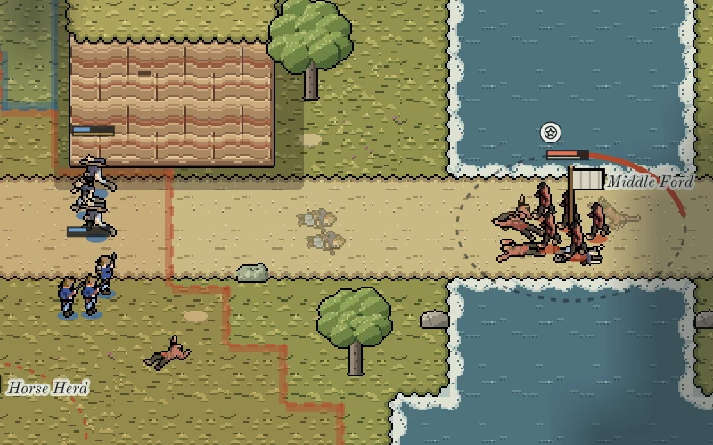
The atlas behind The Great Sioux War
A free U.S. Army atlas from 2006 set the order of our campaign and the ground under its battles. It also showed us where one book was not enough.
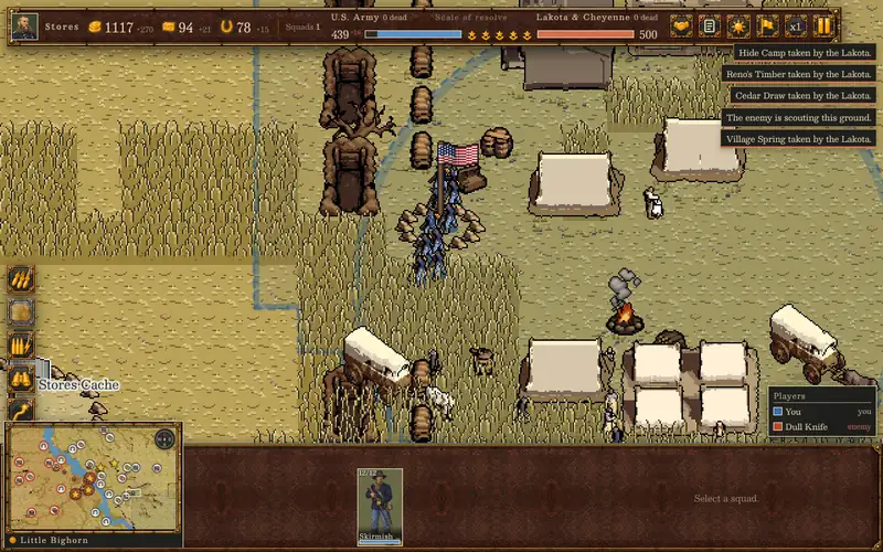
The campaign in The Great Sioux War is built on a book you can read for free: the Atlas of the Sioux Wars, Second Edition, by Charles D. Collins Jr., published by the U.S. Army's Combat Studies Institute at Fort Leavenworth in 2006. (On Very Important Meeting the game still goes by its working name, Black Hills 1876.)
The atlas is 37 color maps, each with a page of text beside it. It was made for the Army's Sioux Wars staff ride, a course where officers go out to the battlefields in Wyoming and Montana and work through what happened on the ground. In his acknowledgments Collins mentions the hours he spent "walking the rolling hills of Wyoming and Montana," and the maps read like the work of someone who has stood on those hills. That is what got us started.
Battles told by the half hour
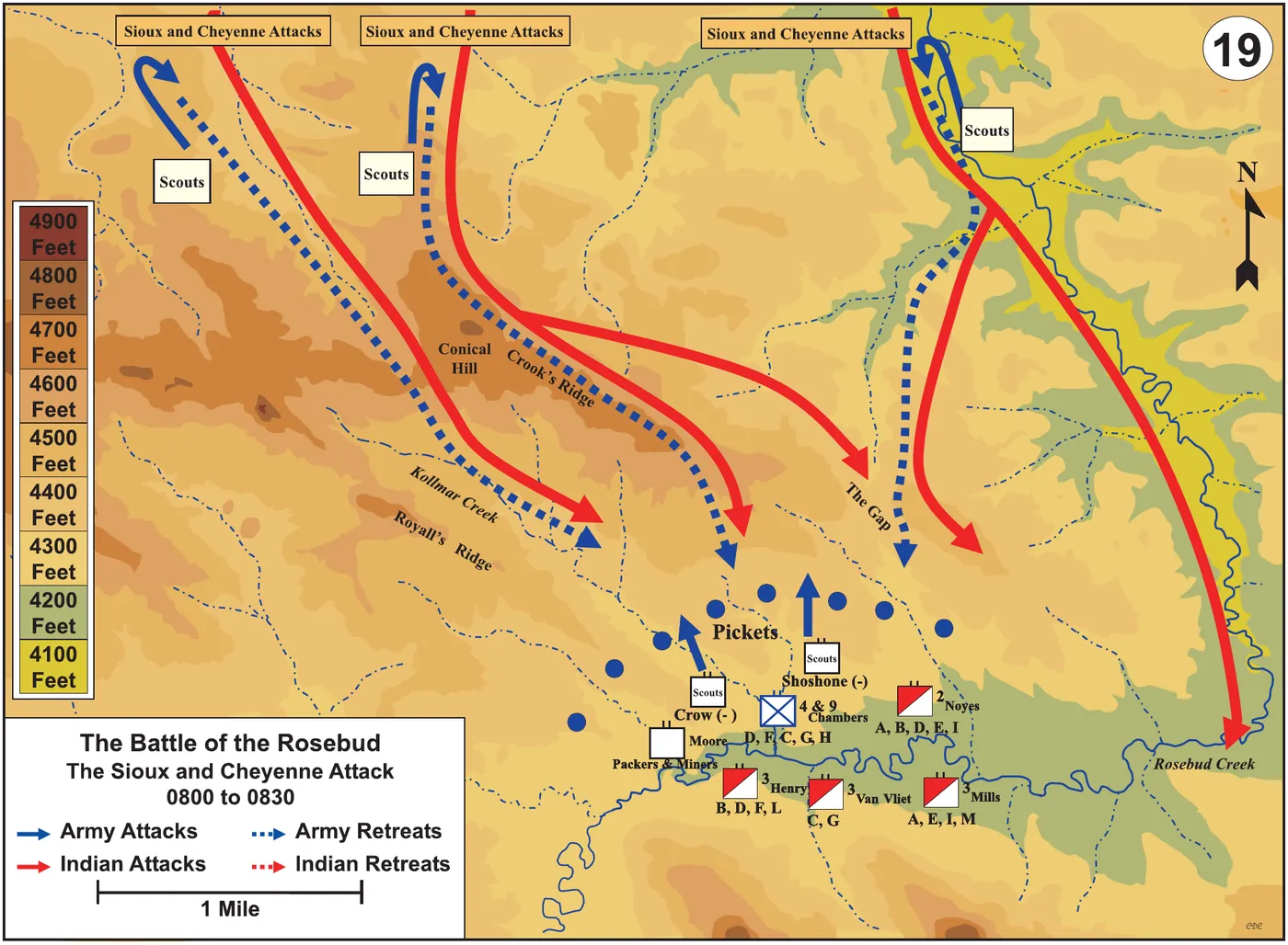
The Battle of the Rosebud, fought on 17 June 1876, gets five maps. The first covers 8:00 to 8:30 in the morning. Crook's column had stopped to rest and make coffee, and the Lakota and Cheyenne attacked from the bluffs to the north. The other four follow Crook's counterattack and his strike toward the village until the fighting ends around 1:30 in the afternoon. The Little Bighorn gets the same care: Reno's attack in the valley from 3:00 to 3:33, then the timed moves that end with Custer's last stand.
Every map shades the ground in bands of elevation and draws the moves of each side as arrows, red for the Lakota and Cheyenne attacks and dashed lines for retreats. If you are making a strategy game, that is most of what you want to know about a fight: where the high ground was, who went where, and how long it took.
What the atlas gave the game
The first thing it gave us was the order of the campaign. The atlas does not start in 1876. It opens with the Grattan fight of 1854 and the war in Minnesota in 1862, works through the war on the Bozeman Trail from 1866 to 1868, and only then reaches the Great Sioux War. Our campaign takes the same long road. The first battle you can fight is at the Platte Ferry in 1853, and the campaign runs through four chapters: the early fights, Colorado and the South Platte, the Great Sioux War, and the Northern Cheyenne return.
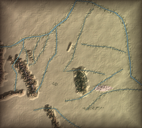
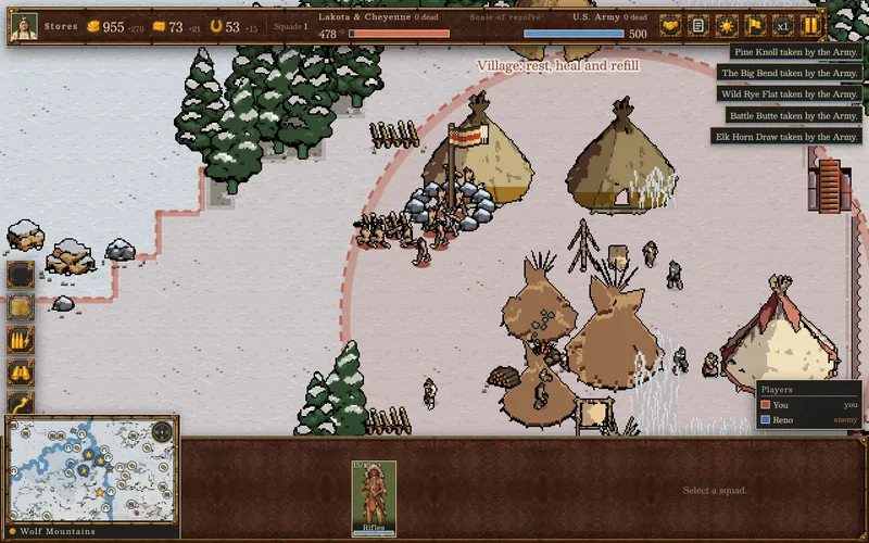
Then the ground. For the battles the atlas maps, we built the battlefields from the real places: the Powder River bottom, the big bend of Rosebud Creek, the Little Bighorn valley and its bluffs, Slim Buttes, Cedar Creek, the Red Fork canyon, the Tongue River valley at Wolf Mountains, and Lame Deer Creek. The rivers run where the real rivers run.
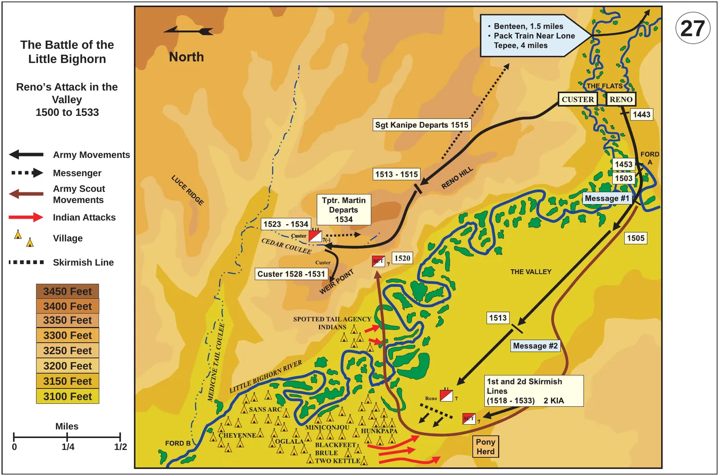
And the record. Behind the campaign is a historical register of 122 entries, from treaties and forts to fights, and 80 of them are fights the campaign is built to let you play. The atlas is the cited source for the biggest: Powder River, the Rosebud, the Little Bighorn, Slim Buttes, Cedar Creek, the Dull Knife fight, Wolf Mountains and Lame Deer. Next to the game sits a 310-page research report with a profile of every fight, and it reprints 24 of the Army's map sheets beside aerial and relief views of the same ground. Five battlefields are open to play today, and the rest open as we finish them.
Where one book was not enough
The atlas was written by the Army to teach Army officers, and its foreword says so: "Our goal is to learn from the experiences of these 19th-century soldiers." It follows the columns and their commanders, so you mostly see the Lakota and Cheyenne from the Army's side of the field.
A game you can play from either side needs more than that, so the atlas is one source among many. Our research also draws on the National Park Service, the Nebraska and Wyoming historical societies, regimental histories, the Park Service's Cheyenne history and eyewitness accounts such as George Bent's. The research notes mark where accounts disagree and where a site has never been pinned down, and they caught one passage where the atlas swaps the names of two generals, Sibley and Sully.
The game also keeps two firm rules. Massacres and raids are on the campaign map as history, and you never play them as battles. And the people in the war go by their own names: Lakota, Northern Cheyenne, Crow and the U.S. Army.
Read it yourself
The atlas is a U.S. government publication, and the whole book is free to read from the U.S. Government Publishing Office. Play the campaign with it open beside you and you will find the same creeks and ridges in both. If you find something we got wrong, tell us.
The Great Sioux War is in development, and you can play it in your browser on Very Important Meeting. Micah wrote about who makes it, and what the Lakota and Cheyenne campaign is going for, in an earlier post.